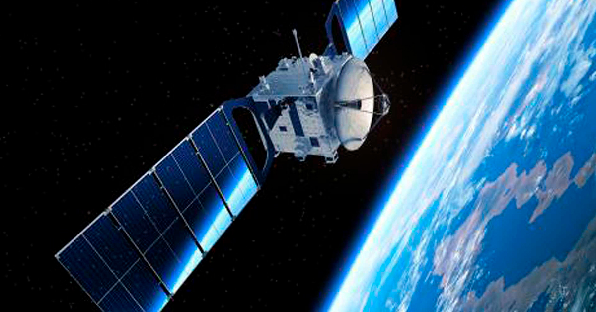
The heart of space craft power systems
At Flux, we understand that magnetics play a critical role in space technology. From Power Conversion to Electrical Propulsion and Motor Controls,...

As part of a series of relatively small and cost-efficient missions under the ESA umbrella, Máni is set to be launched towards the end of this decade. The objective is to deliver the first-ever high-resolution mapping of the surface of the Moon. These maps and images will play a crucial role in future missions, as they will serve as a guide to find the optimal sites for future missions landing on the lunar surface.
Vastly surpassing the level of detail of the current mapping of the lunar surface, the Máni mission will provide improved topographical maps. And though this mission itself will not be landing on the Moon, it will certainly make it a lot easier for missions to come to do exactly that – for example, by mapping the lunar south pole, where the Artemis Program is aiming to land.

All images in this article are by Marcus Marcussen, Department of Physics and Astronomy, Aarhus University.
Neither the mission leaders at the University of Copenhagen nor the several other universities involved from across the continent will be constructing the actual satellite. They leave that to their industrial partners, primarily Aalborg-based Space Inventor.
The nature of the mission – the budget, the timeframe, the international coordination, etc. – meant that certain criteria needed to be met.
Weighing about 210 kilograms, the unmanned satellite for the Máni mission is relatively small and simple in design. The satellite is built around the telescope, developed by Polish experts Scanway, and they were chosen not only for their excellence, but for their heritage.
“For our part, it was a clear priority that Space Inventor only collaborated with established partnerships with proven heritage,” says Jens Frydenvang, Associate Professor at the Globe Institute, University of Copenhagen, pointing to the complex and international structure of the mission.
Máni operates in a polar orbit around the Moon, and once in place, the telescope on the satellite will be tasked with taking a series of images of a given area of the lunar surface. A repeat orbit allows the spacecraft to image the same region of the lunar surface under comparable conditions, but with the position of the Sun as the crucial variable. By comparing all the different images, the scientists behind the mission will be able to construct a detailed topographical map of the surface. This technique is known as shape from shading.
Applying this technique is not new, but the quality and quantity of the images are. The resolution of the images of Máni is expected to be around 17-20 cm/pixel compared to the present 50 cm/pixel, with a few exceptions. If everything goes according to plan, the mission will be able to cover approximately 3000 km2 pr year, resulting in more than 9000 km2 covered throughout the total lifespan of the mission.
Additionally, the objective of the mission is to measure the surface roughness on the lunar regolith as well as any potential slope of a given area. By measuring the reflection of sunlight on the lunar surface, the scientist behind the mission will even be able to give predictions of successful landings on the lunar surface, measured in percentage.
It is still early in the process, and it is hard to tell what the ramifications of the Máni Mission could prove to be. Potentially, the knowledge gained from this mission could help us reach a further understanding of topics as diverse as geological mapping, lunar flashes, and, eventually, it could prove invaluable in our search for suitable sites for long-term habitats for humans.
Stay tuned for upcoming news!

At Flux, we understand that magnetics play a critical role in space technology. From Power Conversion to Electrical Propulsion and Motor Controls,...

Space is no longer restricted to huge national or continental agencies. Commercial enterprises are starting to occupy the lower orbit, changing the...
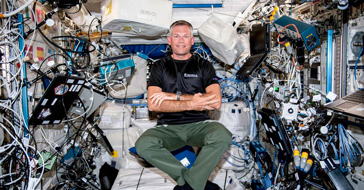
Danish astronaut, Andreas Mogensen, recently embarked on his second space mission with ESA, this time as the main pilot on the space mission, Huginn....